

GIS stands for Geographic Information System. Think of it as a smart brain for maps. While a paper map just shows you where a road is, GIS can tell you how old the road is, how many cars use it, and when it needs repairs. It takes layers of data and stacks them together to help us make good choices.
Remote Sensing is the act of getting information from a distance. We use satellites, drones, and airplanes to take pictures of the Earth. It is like having giant eyes in space. These “eyes” can see things humans cannot, like the heat coming off a building or the health of a forest from miles away.
In 2026, we use Artificial Intelligence (AI) to read maps. This is called GeoAI. Instead of a person looking at thousands of photos to find a flooded house, the AI does it in seconds. It learns to spot patterns, like where trees are dying or where a new road is being built.
LiDAR uses light lasers to measure distance. A drone flies over an area and shoots millions of tiny light beams to the ground. This creates a perfect 3D model of the land. It can even “see” through thick trees to find the ground underneath.
Most cameras only see red, green, and blue. Hyperspectral sensors see hundreds of colors we can’t see. This helps scientists tell the difference between a healthy plant and a sick one before the plant even looks brown.
The Internet of Things (IoT) means we have sensors everywhere. These sensors send live data to our maps. We can see live water levels in a river or track a delivery truck in real-time.
First, we collect data. We use satellites for big areas and drones for small, detailed spots. This is the “Remote Sensing” part of the job.
Next, we put that data into a computer. We fix any blurry spots and make sure the locations are exact. This is where Cloud Computing helps us handle massive amounts of info very fast.
Finally, we turn the data into a picture or a map. This makes it easy for people to understand. In 2026, many maps are now 3D or even Virtual Reality, so you can “walk” through a digital version of a city.
Farmers use these tools to see which parts of their field need more water. This saves water and helps grow more food. They can scan a whole farm in minutes using a drone.
When a big storm hits, GIS shows rescue teams exactly where the water is rising. By looking at old maps, the computer can even guess which streets will flood next.
City leaders use Digital Twins. This is a digital copy of a city. They can test a new bus route on the digital map to see if it causes traffic before they build it in the real world.
The future is all about Predictive GIS. We are moving from seeing what happened to seeing what will happen. By using years of old data, our maps can now warn us about a drought or a fire months before it starts.
GIS and Remote Sensing are the tools that help us take care of our planet. They turn pictures into power and data into decisions. As these tools get smarter and faster, they will help us build a safer, greener world for everyone.
5. Is GIS a good career? Yes. Jobs in GIS are growing fast. People use these skills in farming, city planning, and even in video games to make realistic worlds.
Submit your Details
+91 99994 02106
Identify, evaluate, and control process hazards with expert risk assessments, ensuring safe, reliable, and compliant industrial operations.
Identify, evaluate, and control process hazards with expert risk assessments, ensuring safe, reliable, and compliant industrial operations.
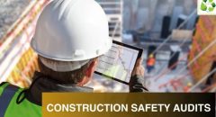
Implement site safety plans, audits, and training to prevent accidents, ensuring safer construction environments and regulatory compliance.
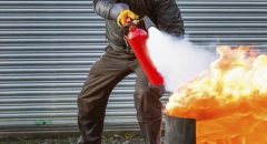
Design, engineer, and audit fire protection systems ensuring reliable performance, asset safety, and adherence to national safety standards.
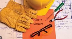
Empowering workforce with certified HSE, fire, and industrial safety training programs for skill development and regulatory competence.
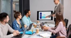
Create immersive, interactive VR safety training modules for realistic learning experiences in hazard recognition and emergency preparedness.
Remote Sensing is the tool used to collect data (like a camera on a satellite). GIS is the system used to store and study that data to solve problems.
Not anymore! In 2026, most GIS work happens in the Cloud. You can use a normal laptop or even a tablet to look at powerful maps.
Yes! Your phone's weather map uses Remote Sensing (satellites) to see clouds and GIS to show you exactly where the rain is moving on a map.
No, they work together. Satellites see the whole world at once, but drones see tiny details that satellites might miss.
Yes. Jobs in GIS are growing fast. People use these skills in farming, city planning, and even in video games to make realistic worlds.